 Facebook
 X
XNavigating the Seas with ShipXplorer: Unveiling the Top Features of the Year
As we bid farewell to another remarkable year, let's delve into the top features that have made ShipXplorer a go-to resource for maritime enthusiasts and industry professionals.
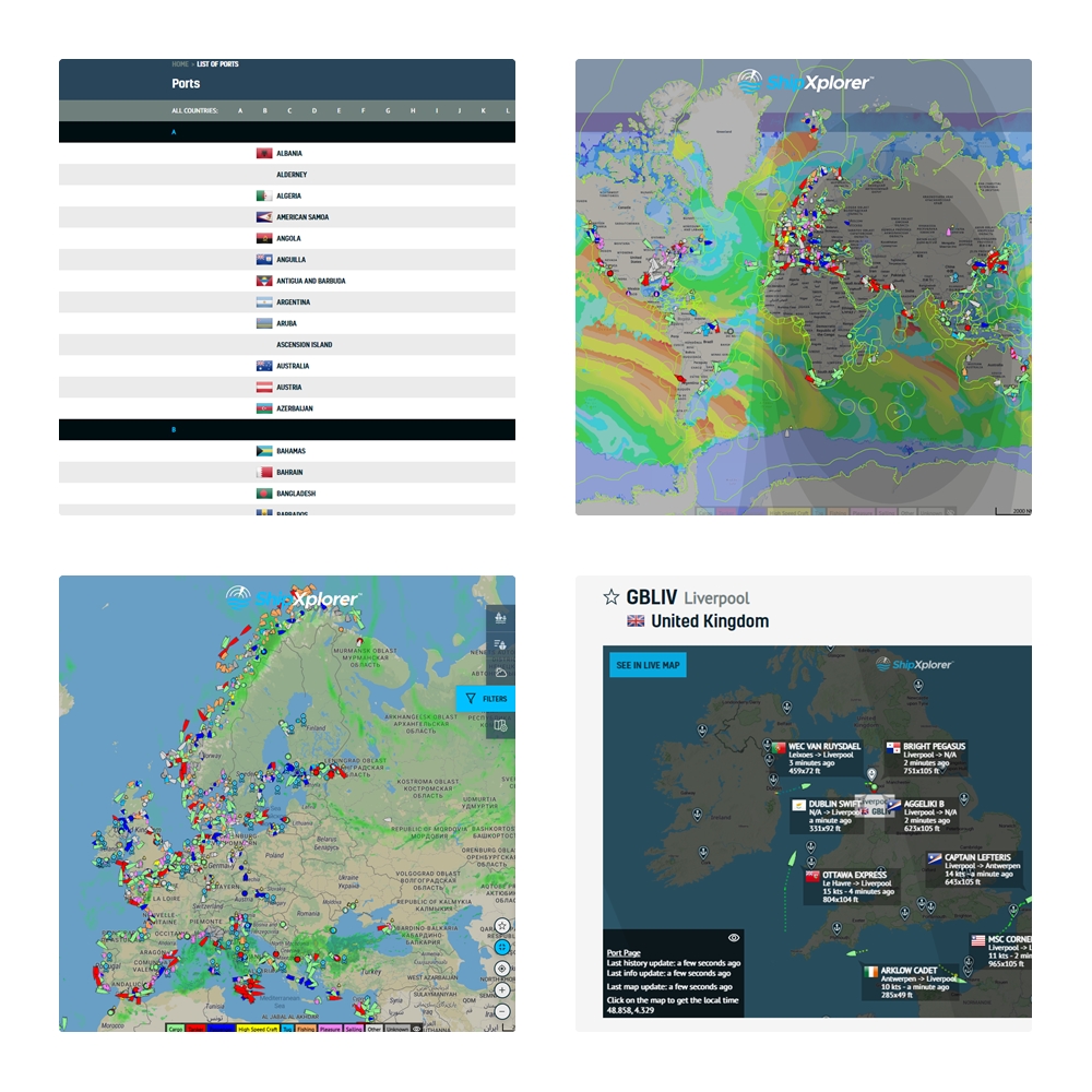
1. Navigation Status: Charting Courses with Precision
ShipXplorer introduced a game-changing feature that puts users in control of their navigation experience—the Navigation Status filter. Conveniently located within the "Filters" section on the right side of the ShipXplorer.com page, users can seamlessly select "Navigation State" to filter and visualize specific navigation states on the map.
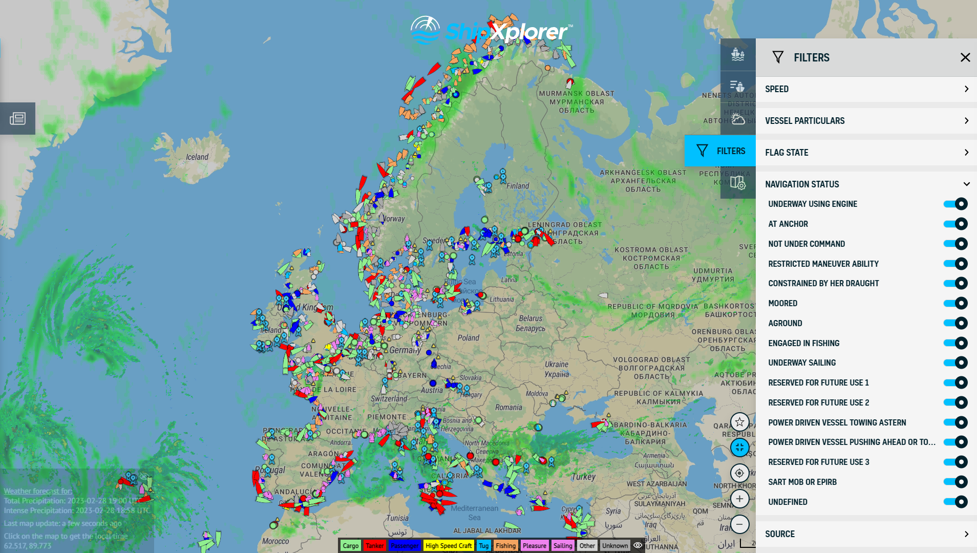
ShipXplorer Filters: Navigation Status
This tool provides a real-time snapshot of ship movements, allowing users to track and monitor vessels with unprecedented precision.
2. Port List & Port Page: Unveiling the Global Ports Network
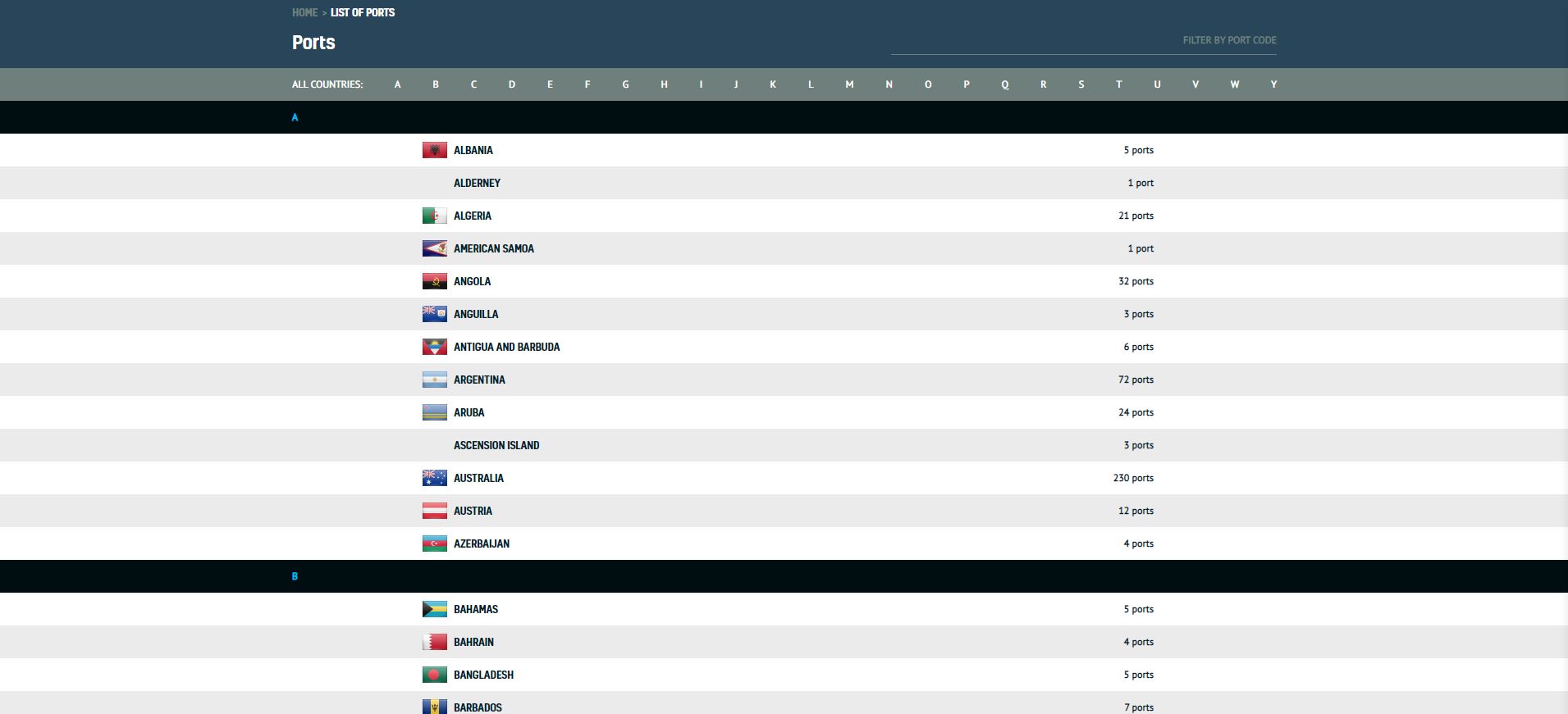
The Ports List, as seen on the ShipXplorer website
One of ShipXplorer's standout features is its Ports List and the corresponding Port Page. The Ports List, boasting an extensive A-Z index of countries worldwide, reveals the number of shipping ports in each country. For instance, exploring Australia on ShipXplorer uncovers a staggering 230 registered ports.
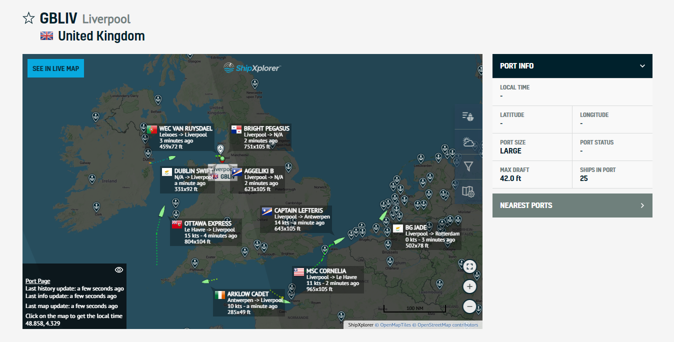
The Ports page, as seen on the ShipXplorer website
Upon clicking on a country, users access a scrollable list showcasing every port within that nation. The Port Page furthers the experience, offering detailed insights into specific ports. Users can explore the traffic at a particular port, identifying either departing or arriving ships. For example, selecting Liverpool in the United Kingdom unravels a vibrant display of ships in motion, complete with departure and arrival information.
The Port Page also provides real-time data on the number of ships currently present, even those without an active transponder. This feature proves invaluable for users seeking the most up-to-date information on maritime activities.
3. Weather Layers: Beyond Ships, Unleashing Nature's Forces
ShipXplorer doesn't just stop at ship tracking; it extends its functionality to include weather layers. Users can overlay various weather parameters onto the map, enhancing their understanding of the maritime environment. These layers encompass critical data such as wave and surface temperature, wave height, wave period, etc. In an upcoming blog post, we will delve into the activation and utilization of four specific weather layers, providing users with a comprehensive understanding of the atmospheric conditions influencing maritime activities.
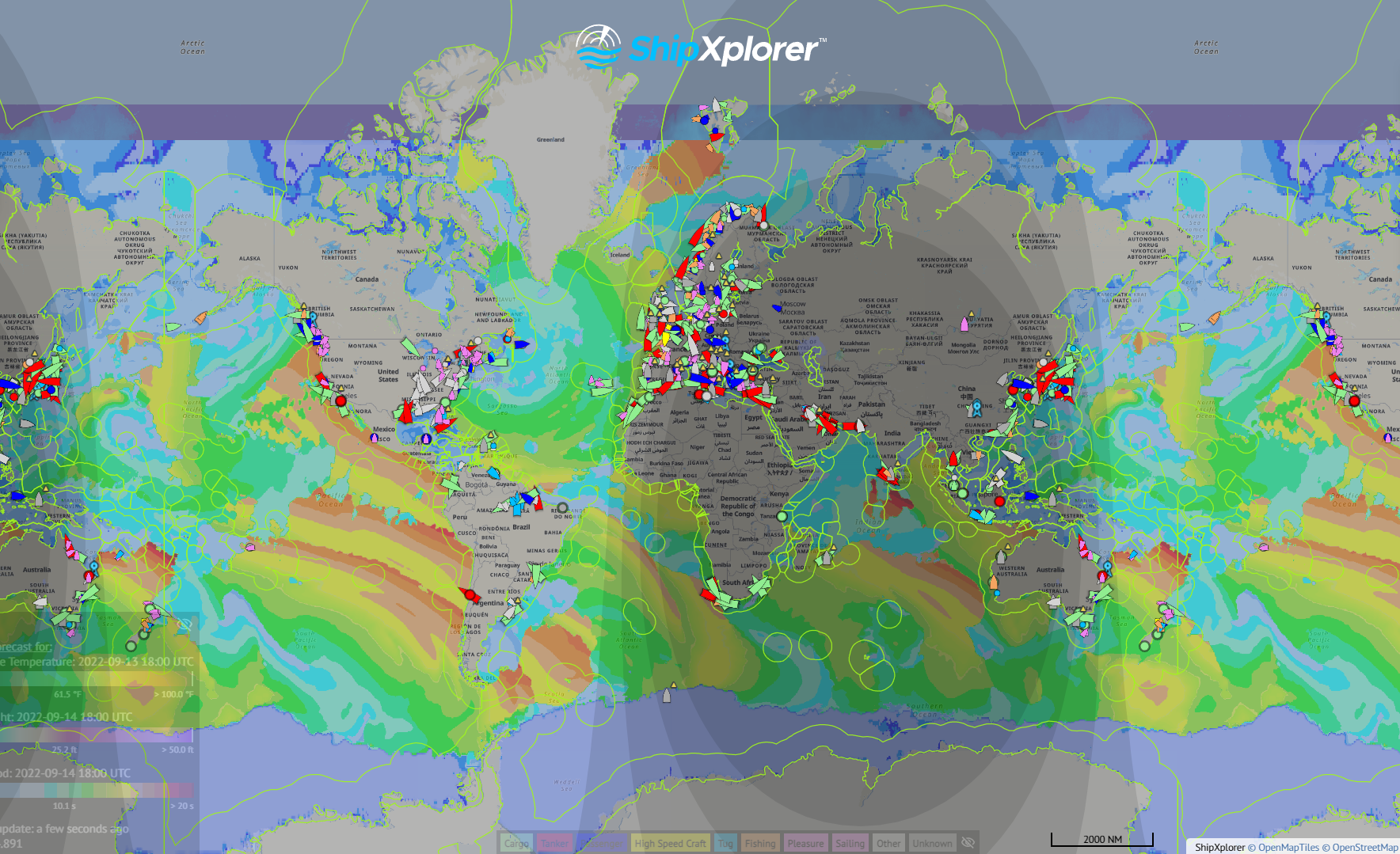
Weather layers provided by ShipXplorer
As ShipXplorer continues to evolve and set the standard in maritime tracking and information, these top features exemplify its commitment to providing users with a powerful and intuitive platform. Whether you're a maritime professional, an enthusiast, or someone keen on global shipping, ShipXplorer remains the compass guiding you through the vast seas of information.
For those eager to unlock even more capabilities, detailed subscription plans are available at ShipXplorer.com/subscribe. Explore the seas like never before with ShipXplorer, where innovation meets navigation.
READ NEXT...
- ais-dispatcher
- ais-hub
- shipxplorer
- ship-tracking
- ais-data
- ais-coverage
- blog
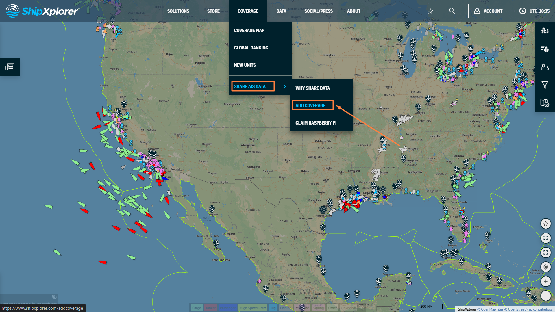
2026-03-24 17:05 UTCHow to share AIS data to ShipXplorer with AIS Dispatcher!
Did you know? You can now share AIS data with ShipXplorer? Read our blog to learn more!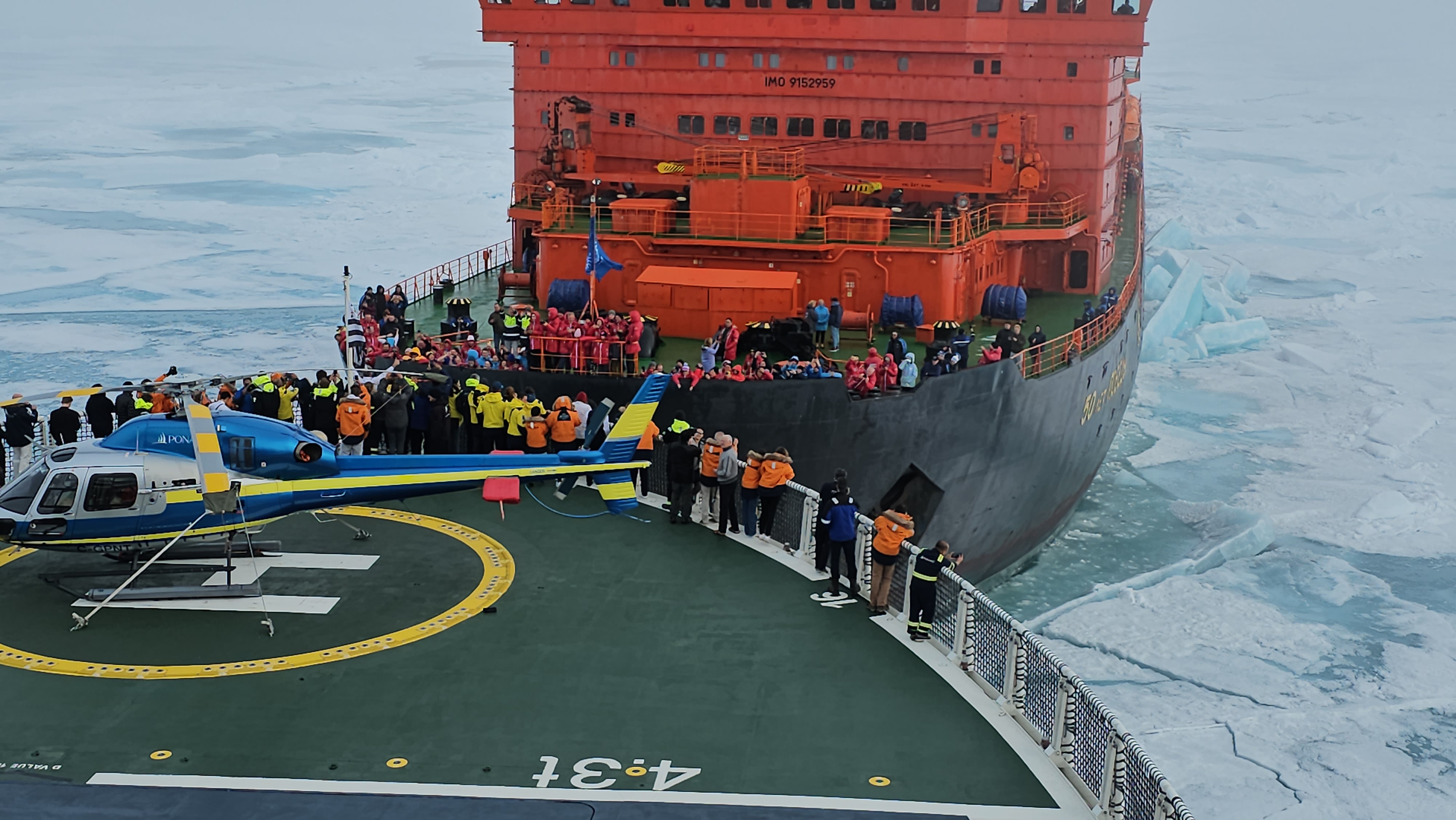
- arctic
- north-pole
- le-commandant-charcot
- north-pole-expedition
- 50-years-of-victory
- russia
- ukraine
- russian-ukrainian-war
- war
- peace
- ship
- blog
2023-07-21 16:37 UTCA Symbolic Encounter: Le Commandant Charcot and Russian Arktika-class nuclear-powered icebreaker 50 Years of Victory Extend a Message of Peace At the North Pole
Today, we have an extraordinary tale to share, one that unfolded amidst the awe-inspiring beauty of the Arctic. Against the backdrop of the Russia-Ukraine war, this encounter took on a profound meaning as the two ships exchanged waves of peace in the far reaches of the North Pole. Read about this symbolic moment on our blog!
- shipxplorer
- ship-industry
- vessel-tracker
- ship-tracker
- ais
- hardware
- blog
2022-09-04 15:09 UTCSharing AIS data with ShipXplorer
Read our blog post and learn how to share AIS data and the benefits of being a ShipXplorer feeder.